Cala Estreta (Artà)
Different plans, different conditions
Swimming
Loading forecast conditions…Family
Loading forecast conditions…Forecast estimate · Check local flags
Local currents, flags, jellyfish and current water quality are not verified. Lifeguard duty is not confirmed.
How it works ↗Expected crowds
When is Cala Estreta (Artà) busiest?
Typical patterns
No current visitor count has been verified for this guide.
Guide reviewed on 12 November 2026
Guide sources
Plan by season
General patterns for Mallorca, not a forecast for this beach today.
Summer
Popular beaches and small coves can feel busy quickly. Check the beach guide, allow time for access and have an alternative ready.
Spring & autumn
Warm weekends can feel very different from weekdays. A seasonal estimate gives context, but cannot see a sunny-day surge or an event.
Winter
Beaches are generally quieter. Cold water, wind and shorter days still shape the visit. Check which services operate outside summer.
Loading forecast conditions…
How it works
Live crowd counts are not available on this site. Crowd estimates do not change the conditions score.
How do I get to Cala Estreta (Artà), and where do I park?
The park gives the approach from Artà via the ses Pesqueres sports ground and Camí des Racó. The park authority describes route 22 as a 3,053 m circular walk through Estreta and Mitjana. This is the whole circuit, not one beach approach. The council’s undated road description follows the Racó road for about 10 km from Artà, signed towards Cala Torta. At the final fork it places Mitjana left and Torta right, with a small parking clearing on the Mitjana branch. It then directs walkers onto the coastal path, west towards Estreta. These are route landmarks, not verified current driving permission or a parking pin.
Check facilities and parking information ↓Find the beach
The marker shows the beach, not a car park or a verified walking route. Follow the access advice before setting off.
View on Google MapsBeach guide
The beach
At a glance
- Small rocky cove beside Cala Mitjana
- Access on the official walking circuit
- Pebbles, rock and gravel
- Current facilities remain unconfirmed
What is Cala Estreta (Artà) like?
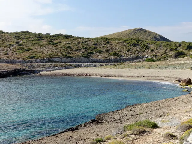
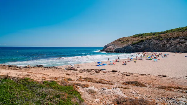
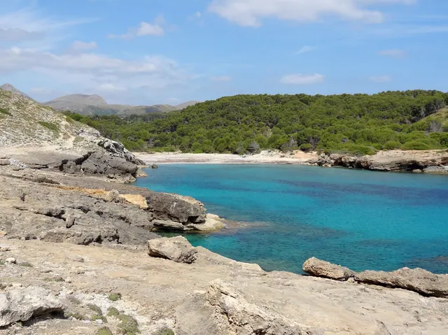
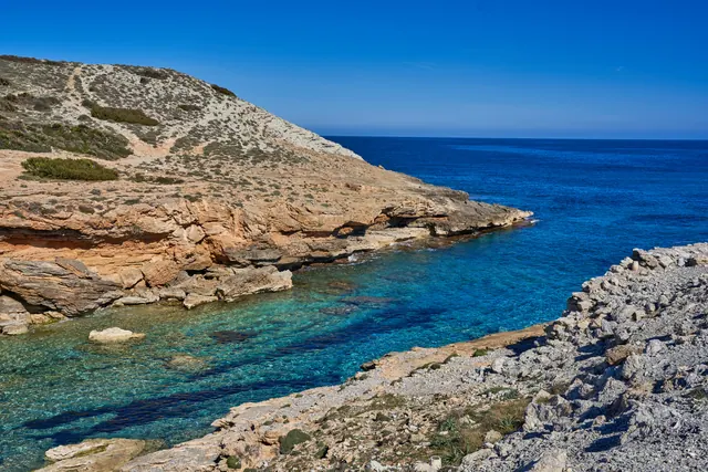
Cala Estreta in Artà is a small cove west of Cala Mitjana on the Camí dels Carabiners. It suits a visit built around the coastal walking route and a compact stony shoreline. Keep Artà in your destination search to select the right municipality. The cove lies in the Península de Llevant Natural Park.
What are the sand and water like at Cala Estreta (Artà)?
Spain’s tourism listing records pebbles, rock and gravel. The council warns boaters about shallow water in the cove. This does not establish an easy swimming entry. Inspect the footing and a way back out at the shore.
What facilities does Cala Estreta (Artà) have?
Current toilets, drinking water, staffed lifeguards and dependable shade remain unconfirmed. Bring drinking water, food and sun protection before the coastal walk. Carry what your group needs for both the beach stop and the return journey. The park states that the sa Duaia public estate, which includes this cove, is not adapted for people with reduced mobility.
Which winds affect Cala Estreta (Artà)?
Spain’s tourism listing gives a general category of moderate waves. Use the actual wind and wave forecast for your visit. Reassess the water entry when you arrive.
What should I watch out for at Cala Estreta (Artà)?
The park describes asphalted remnants of attempted development in the 1970s along the circuit. Follow current signs and barriers when choosing your route. Bathing flags and water quality remain unverified.
Guide reviewed on
Published by Philipp Beer
Live conditions for Cala Estreta (Artà) as text, updated hourly
Official warnings · AEMET
Beach flags are separate from AEMET warnings. Follow local flags and lifeguards.
Check official warningsExplore nearby
Closest beaches by location. Driving routes may be longer.